About the App
.
Benefit from VisualBases
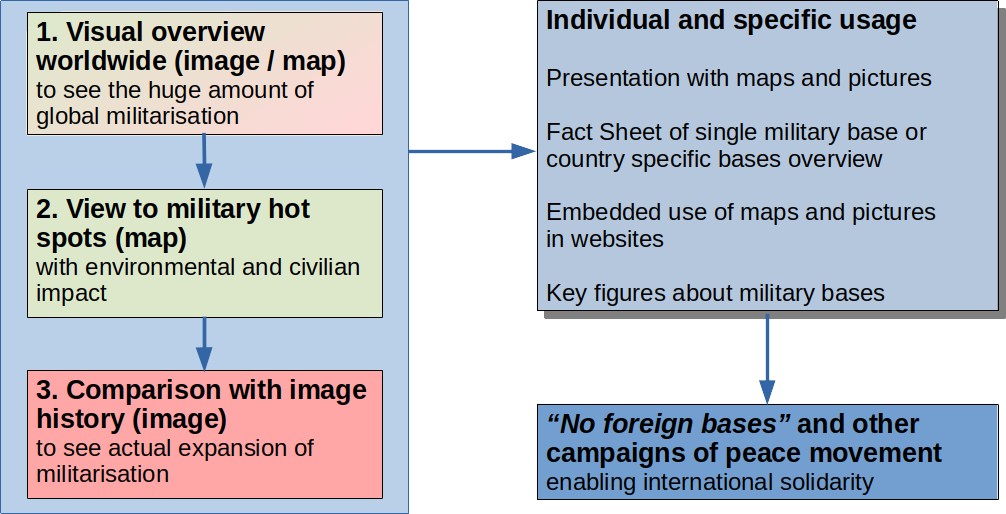
VisualBases is a useful tool in the struggle against foreign military bases – the basis of power projection exhibited by a few highly militarised states. In particular, it clearly demonstrates the extent of the US network of bases that forms the backbone of plans for military dominance and the concept of endless wars.
VisualBases helps initiatives, campaigns and organizations to get a better understanding of the purpose of the bases and to help create presentations and documents on the issues involved.
VisualBases also supplies links to existing material and listings of military bases.
(Statement by Karl-Heinz Peil and Dave Webb – 2021)
Top-down approach to use VisualBases
Historical Images in Google Earth
With the history icon („turn back the clock“) in Google Earth you can get old pictures.
After clicking this icon a time bar appears with markers of available image captures.
Examples from Niscemi Radar Station: 7/2013 and 12/2016


Pictures and Copyright
Copyright when using Google Earth Images
Excerpts:
You may annotate our maps with additional information – like points, lines, or labels.[…] If neither of those fit your needs, you may export an image from Google Earth or Earth Studio, or capture a screenshot from Google Maps, to add custom labels or graphics using third-party software.
While we encourage annotations, you must not significantly alter how Google Maps, Google Earth, Earth Studio, or Street View would look online. For example, you’re not allowed to make any changes to the colors of the product interface or remove attribution. […]
While we encourage annotations, you must not significantly alter how Google Maps, Google Earth, Earth Studio, or Street View would look online. For example, you’re not allowed to make any changes to the colors of the product interface or remove attribution. […]
Google Earth or Earth Studio can be used for purposes such as research, education, film and nonprofit use without needing permission.
All content created from Google Earth or Earth Studio must always be properly attributed.
Google Earth content may not be used for any commercial or promotional purposes.
Source and all information in detail: https://about.google/brand-resource-center/products-and-services/geo-guidelines/
Copyright when using OpenStreetmaps
Excerpts:
We require that you use the credit “© OpenStreetMap contributors”.
You must also make it clear that the data is available under the Open Database License. You may do this by linking to this copyright page. Alternatively, and as a requirement if you are distributing OSM in a data form, you can name and link directly to the license(s). In media where links are not possible (e.g. printed works), we suggest you direct your readers to openstreetmap.org (perhaps by expanding ‚OpenStreetMap‘ to this full address) and to opendatacommons.org. …
For a browsable electronic map, the credit should appear in the corner of the map. For example:
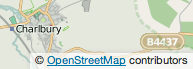 Source and all information in detail: https://www.openstreetmap.org/copyright
Technical Basics about OpenStreetBrowser
Openstreetbrowser.org is a cooperation of OpenStreetMap and Wikimedia (Commons, Wikipedia, Wikidata, …). OpenStreetMap objects are linked to Wikimedia objects with tags and optional layer like among others “Infrastructure → Military”.
Military tags are visible step by step with zoom factor.
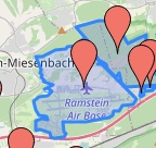
Zoom factor 11: tags of main locations visible
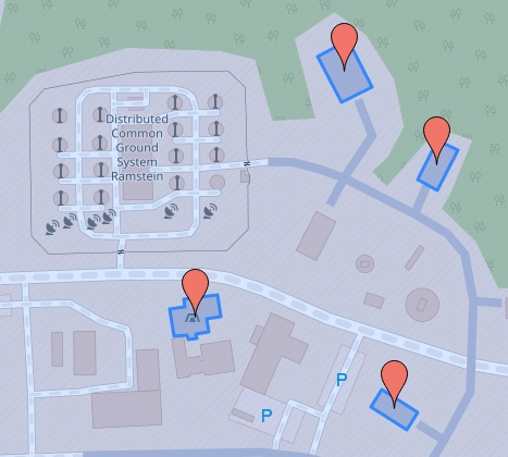
Zoom factor 14: tags of facilities visible
Beginning with zoom level 14 in Openstreetbrowser you can see many facilities, mostly unnamed.
Note: Not all special facilities by definition in Visualbases must have a corresponding military object pin in Openstreetbrowser.
Example with Internet Link
15: Zoom factor
15/49.4369/7.6027: Decimal coordinates (Lat./Lon. – WGS84)
OpenStreetMap link: https://www.openstreetmap.org/#map=15/49.4369/7.6027
same link in OpenStreetbrowser with layer “Military”
https://www.openstreetbrowser.org/#map=15/49.4369/7.6027&categories=military
Examples with OpenStreetBrowser Maps